News   Apr 02, 2020
 4.2K     0 
News   Apr 01, 2020
 5.1K     0 
News   Apr 01, 2020
 1.6K     0 

Vancouver Evergreen Line

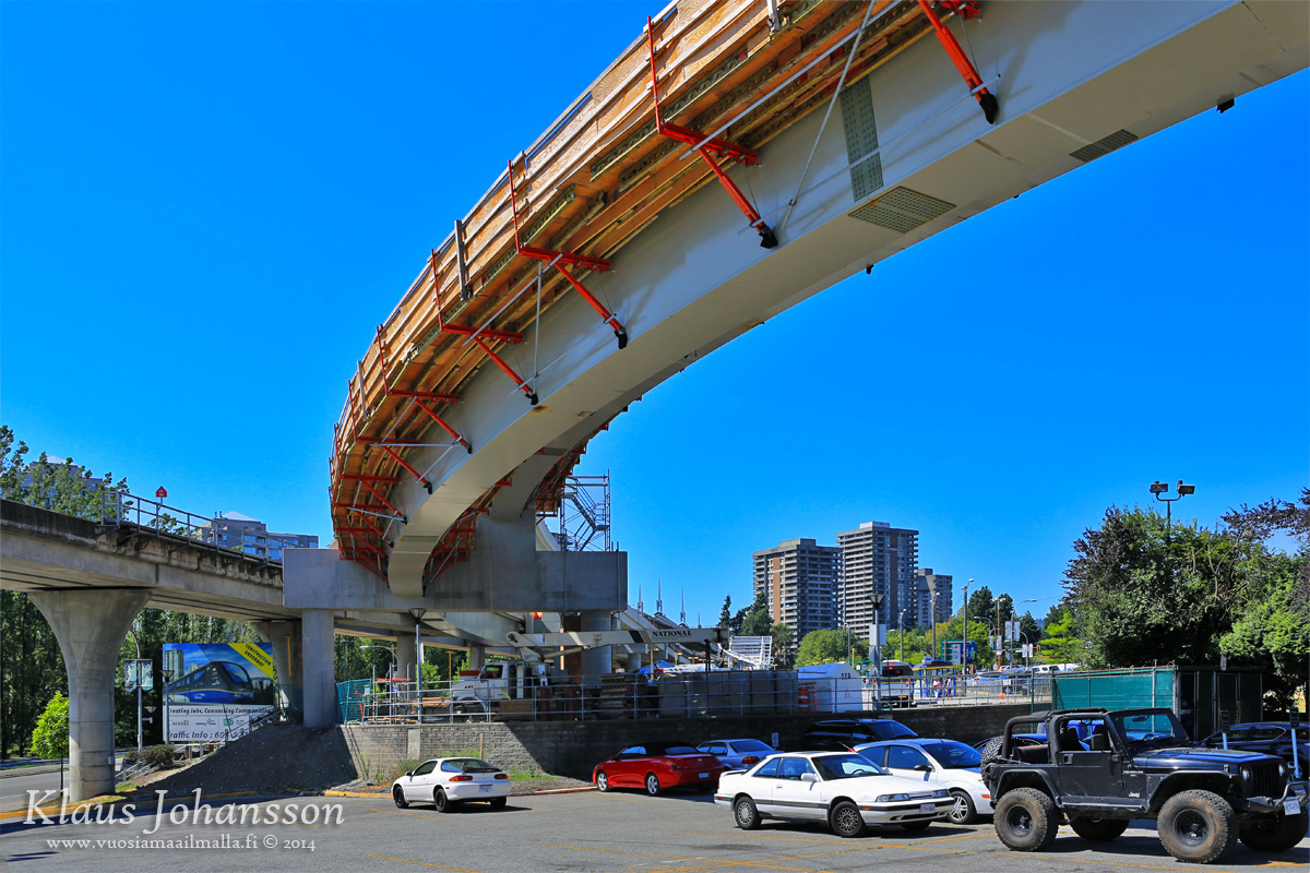
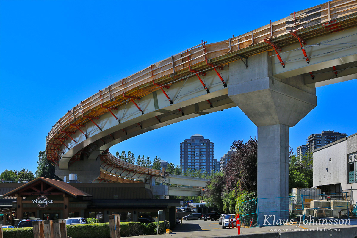
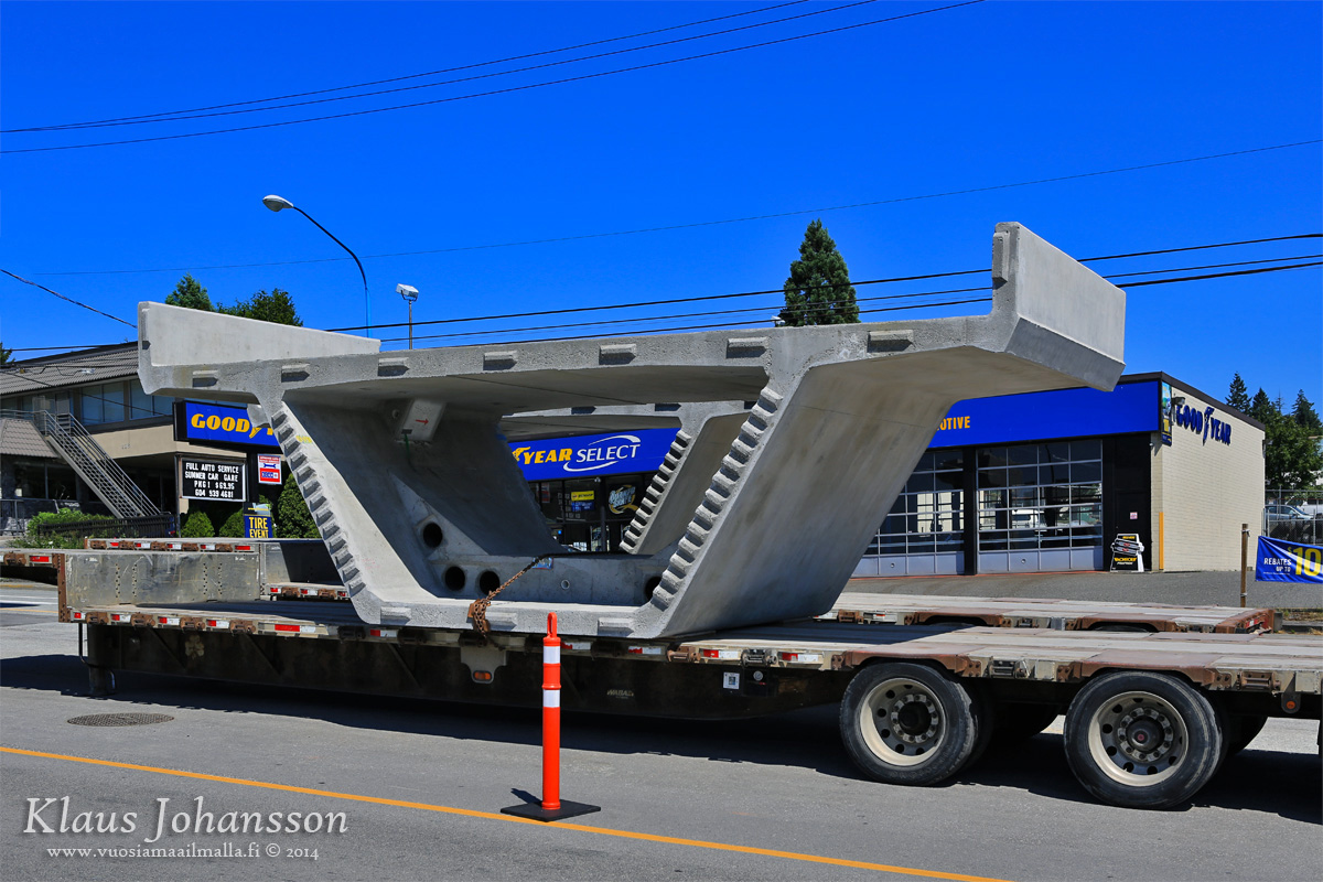
Pic from Evergreen Facebook of the siding for the future PoCo extension:
...but they have their left and right mixed up.

10410414_851541451559027_5235385658592240796_n.jpg

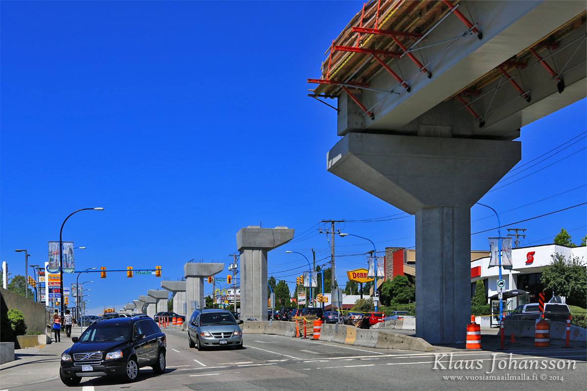
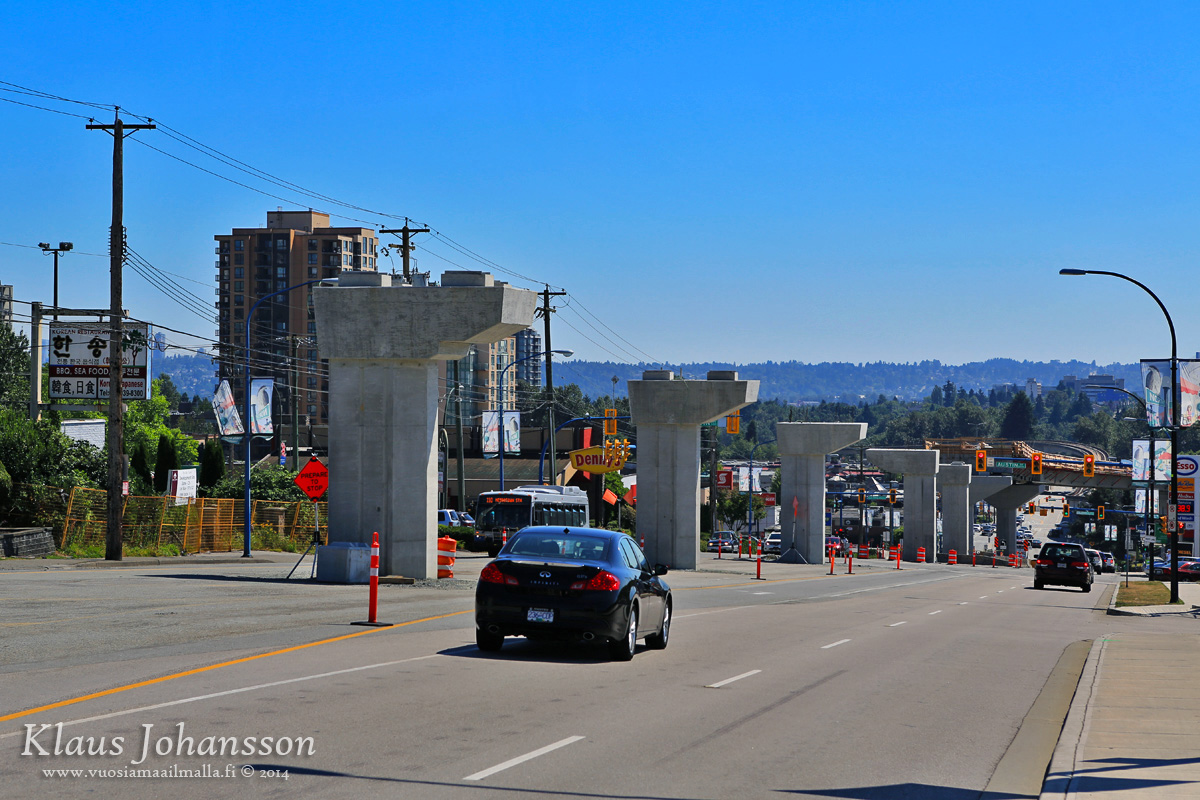
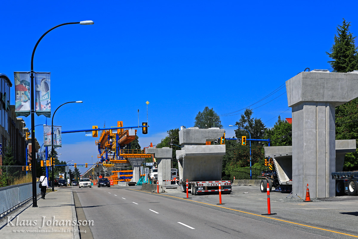
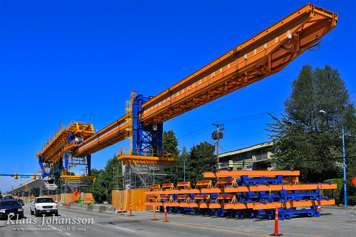
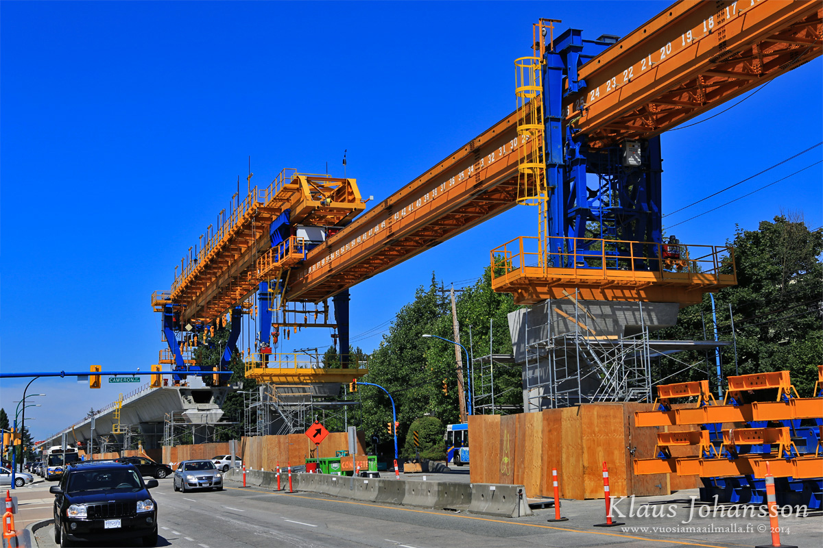
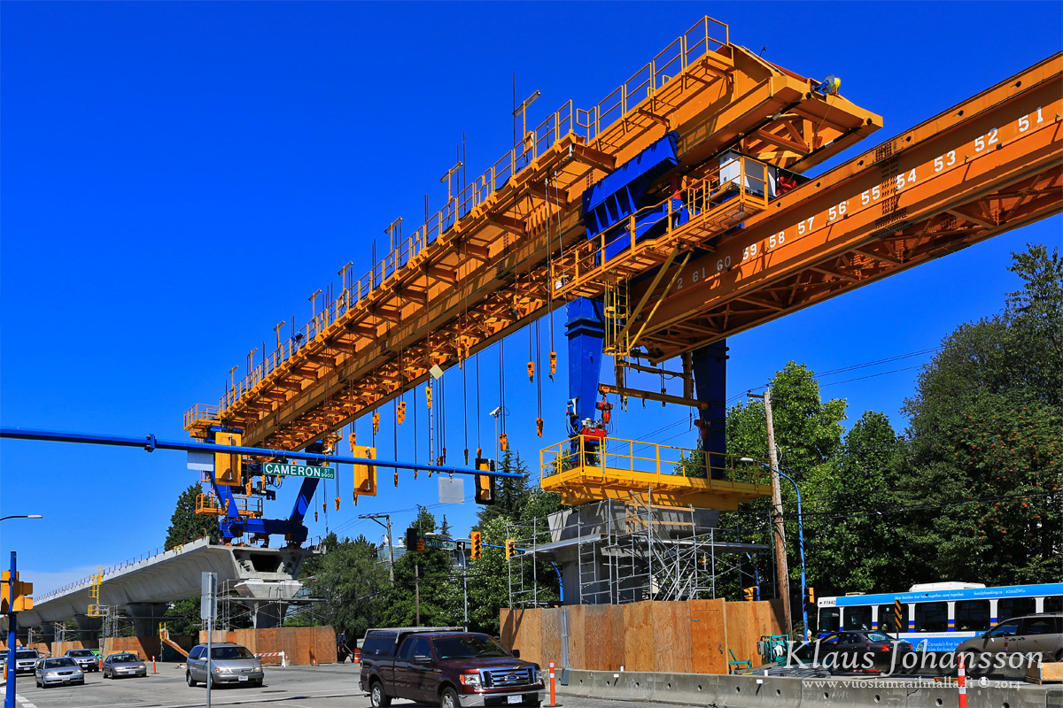
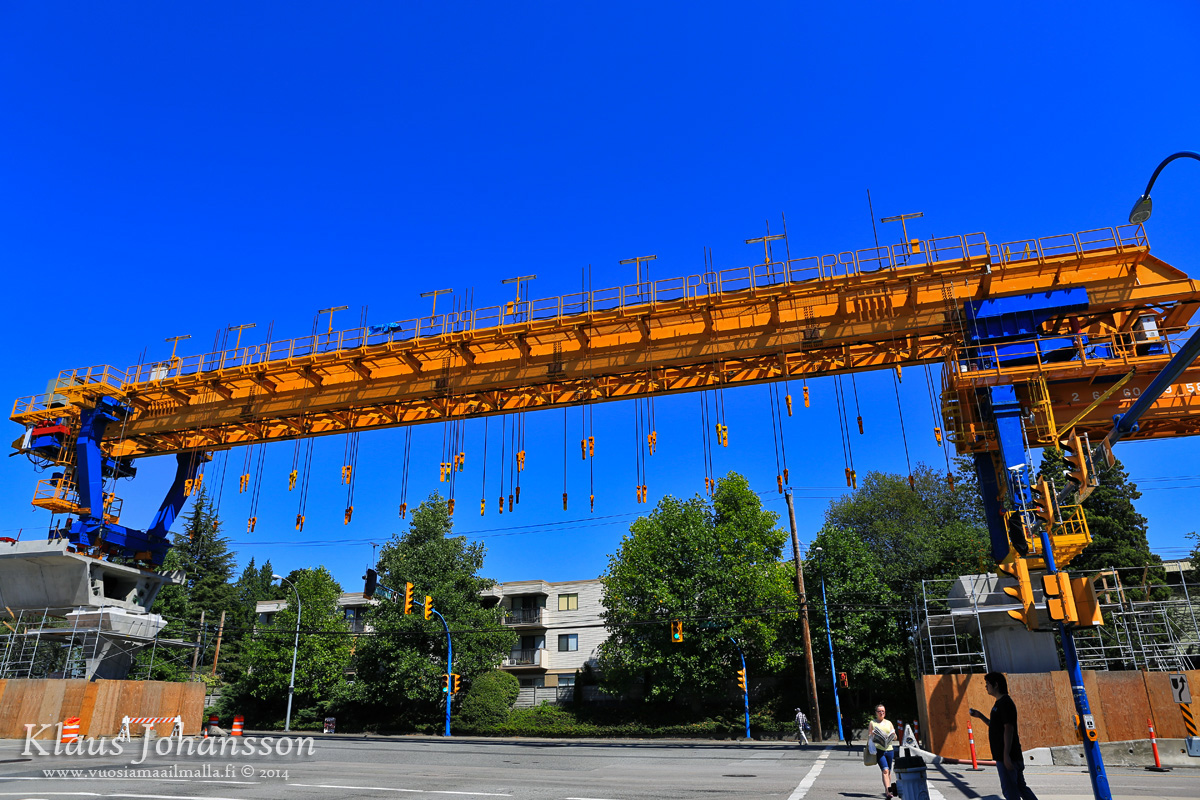
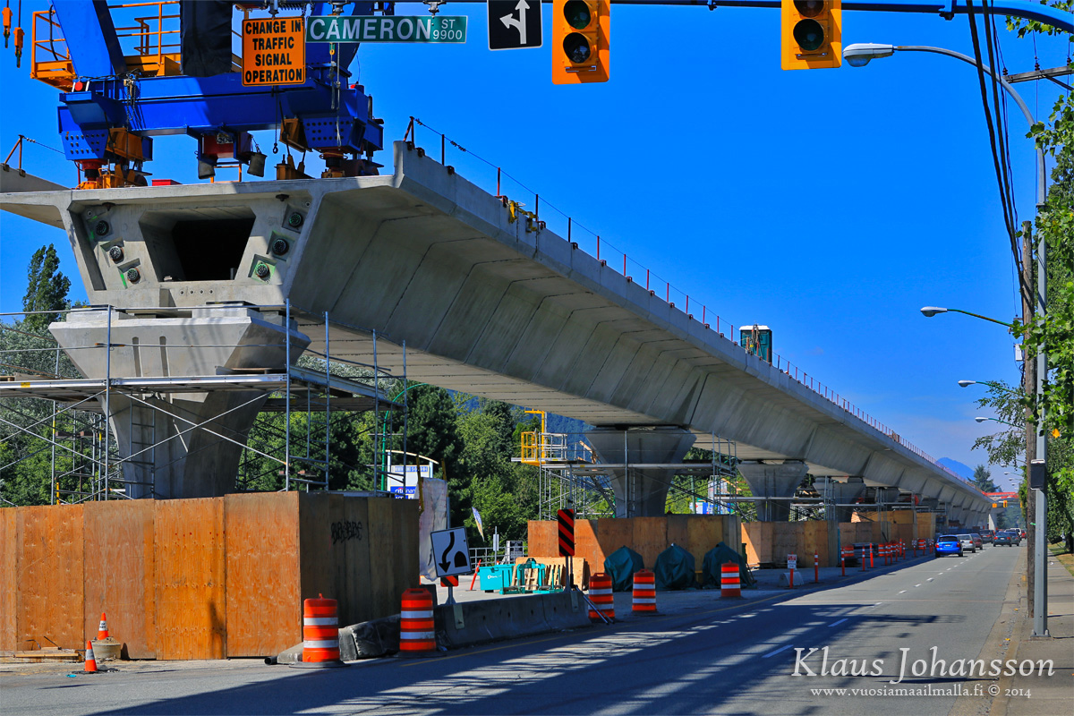
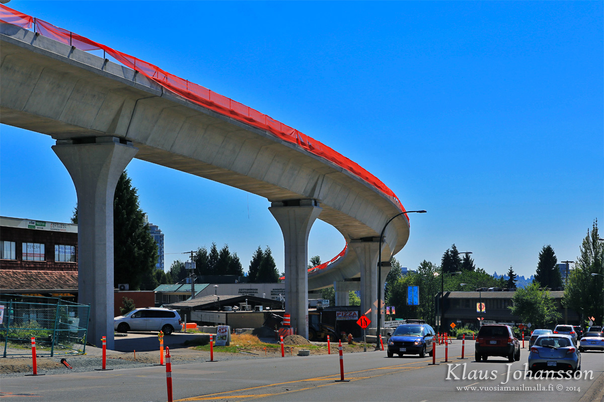
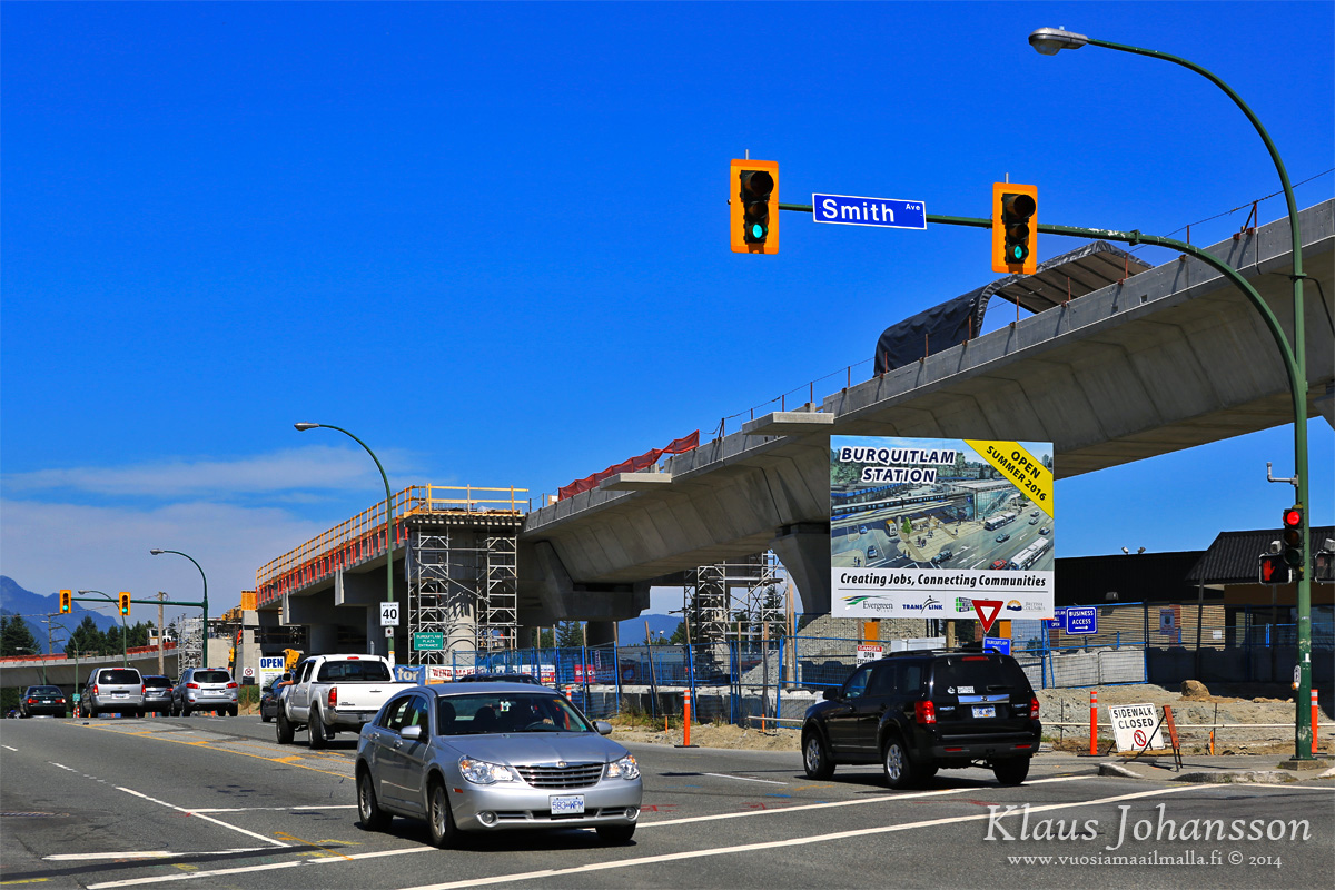
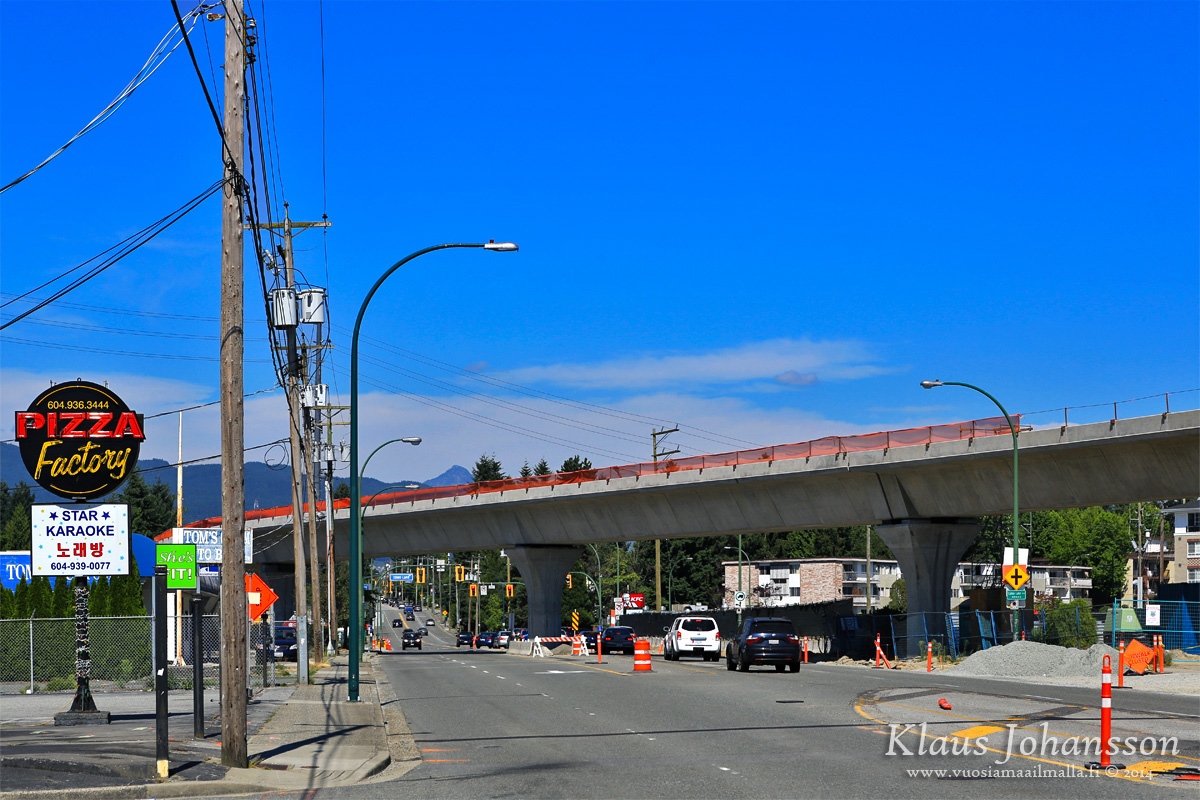
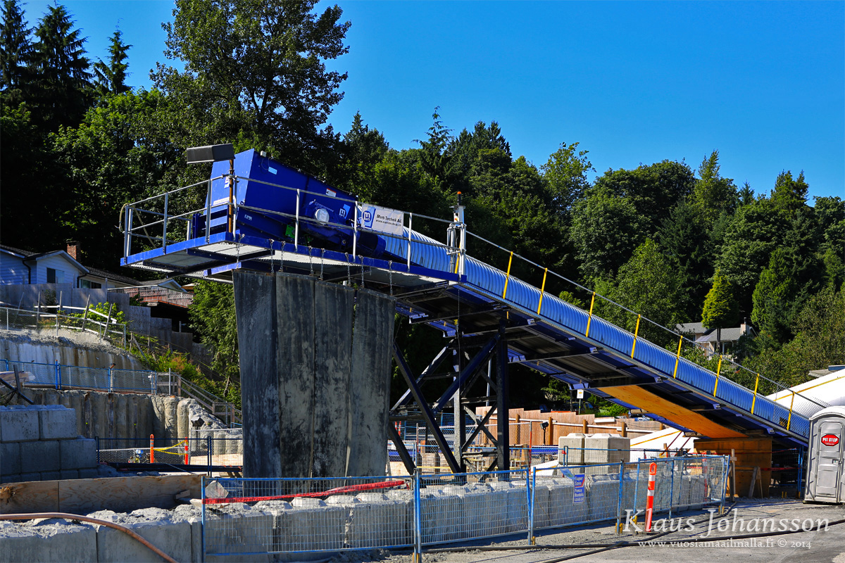
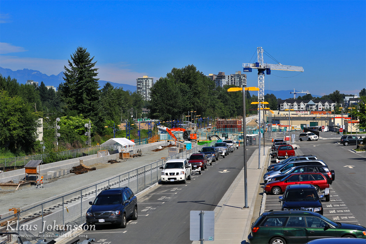
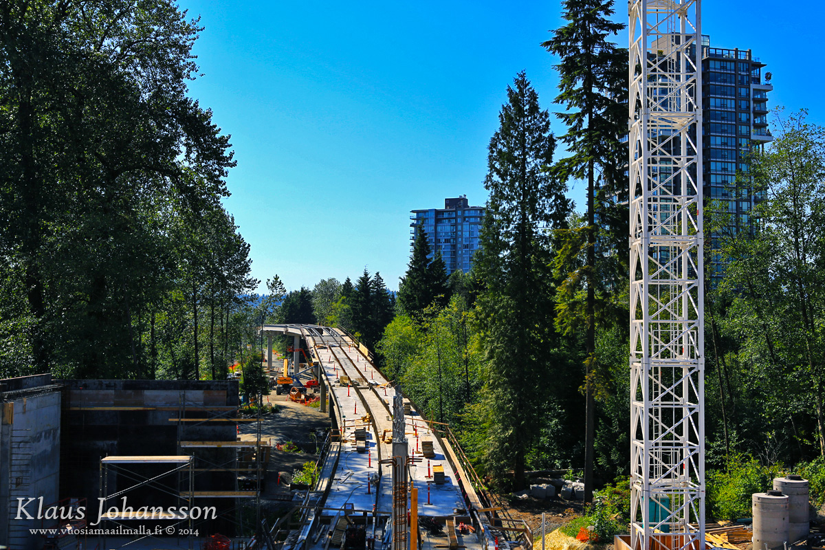
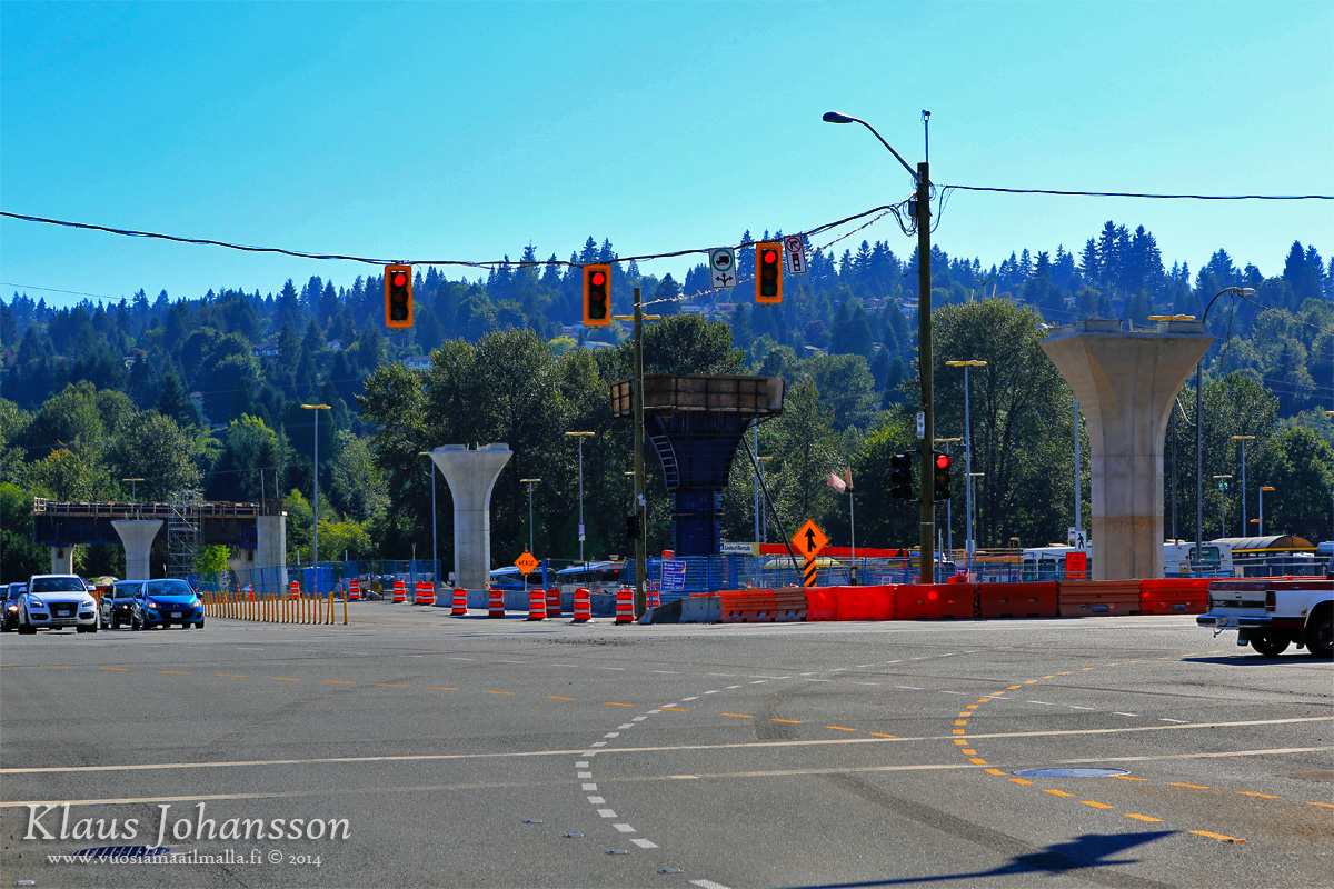
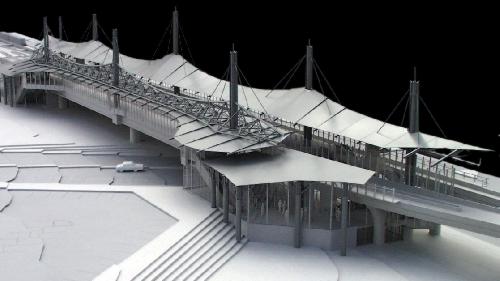
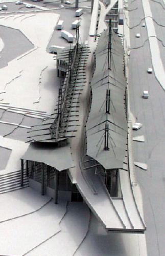
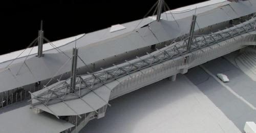
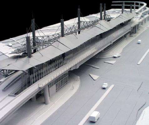
Check out this photo of a crane being used to install a concrete reinforced girder at Coqutilam Central Station. These girders will be used to connect a future expansion of the SkyTrain system to the Evergreen Line. The Evergreen Line track will run through Coquitlam Central Station (the structure to the right of the girder being installed) and then up Pinetree Way to Lincoln Station and Lafarge Lake-Douglas Station.
https://www.facebook.com/evergreenline#!/evergreenline
 
From SSP:

Okay, it was blue skies and +31 degrees this past Sunday [ August 3rd, 2014], so what better would I had to be doing than walking through the whole Evergreen contruction site taking pictures of the whole project. This is the only mega update I am planning to have from this project, so enjoy. :)

evergreen_line_tyomaa1.jpg


The famous "WhiteSpot curve".
evergreen_line_tyomaa2.jpg


evergreen_line_tyomaa3.jpg


evergreen_line_tyomaa4.jpg


evergreen_line_tyomaa5.jpg


evergreen_line_tyomaa6.jpg


Up the North Road.
evergreen_line_tyomaa7.jpg


evergreen_line_tyomaa8.jpg


Track element waiting to be be installed.
evergreen_line_tyomaa9.jpg


evergreen_line_tyomaa10.jpg


The impressive gantry crane. Does anyone have a timelapse to show how this thing works?
evergreen_line_tyomaa11.jpg


evergreen_line_tyomaa12.jpg


evergreen_line_tyomaa13.jpg


evergreen_line_tyomaa14.jpg


evergreen_line_tyomaa15.jpg


North Road / Clarke Road curve.
evergreen_line_tyomaa16.jpg


evergreen_line_tyomaa17.jpg


evergreen_line_tyomaa18.jpg


Burquitlam station.
evergreen_line_tyomaa19.jpg


evergreen_line_tyomaa20.jpg


Diving into the tunnel.
evergreen_line_tyomaa21.jpg


At the other end of the tunnel. Alice has dug in to the mountain.
evergreen_line_tyomaa22.jpg


evergreen_line_tyomaa23.jpg


This is where the trucks will load.
evergreen_line_tyomaa24.jpg


Onwards towards Port Moody.
evergreen_line_tyomaa25.jpg


evergreen_line_tyomaa26.jpg


Evergreen banner. Note some tunnel elements in the background.
evergreen_line_tyomaa27.jpg


Port Moody station.
evergreen_line_tyomaa28.jpg


evergreen_line_tyomaa29.jpg


Inlet Centre station.
evergreen_line_tyomaa30.jpg


Intersection of Lougheed and Barnet Highways.
evergreen_line_tyomaa31.jpg


Pilar being molded.
evergreen_line_tyomaa32.jpg


Through Coquitlam Center.
evergreen_line_tyomaa33.jpg


Over Pinetree Way.
evergreen_line_tyomaa34.jpg

August 9th:

One segment past Cameron!

2vj78ki.jpg
 
Last edited:
The White Spot near Lougheed station and the "pizza" building further up on North Road are probably the only instances I can think of where they constructed the guideway over existing buildings.
For Canada Line, I think they demolished some small building that were in the way north of Sea Island Way.
Other transit-oriented developments around the guideways have been built after the lines were completed.
 
From SSP.

Pics of the at-grade guideway through downtown Port Moody and eastwards where it transitions to elevated to cross the CPR tracks:

Some photos I took today in the Port Moody area:

From the Moody St. overpass:

2q238u0.jpg


2i0tb2h.jpg


From the Port Moody pedestrian overpass by the Lexus dealership:

jhe907.jpg


ou04le.jpg


2q1bb0x.jpg


5lwdv6.jpg


2i2a2ra.jpg


And finally, what I think is the most interesting, the view from the temporary walkways leading from the Port Moody WCE station onto the bus loop:

2v8p9i0.jpg


vpgttt.jpg


10fn7v4.jpg
 
Last edited:
From SSP today:

August 28th North Road update:

They're currently in the process of improving Clarke Road from North Road to Como Lake Avenue: constructing new median islands, adding new sidewalks, installing new traffic signals at Clarke Road and Como Lake Avenue, and widening Clarke Road at Como Lake Avenue to facilitate new left turn bays and a new right turn lane from southbound Clarke onto westbound Como Lake. Burquitlam is about to look a lot better.

They've started erecting the platform shelter at Burquitlam Station:
t50i8k.jpg


North Road looking south. Guideway construction has reached the column directly to the left of me (just out of the picture) as you will soon see:
96x3ba.jpg


Across from the McDonalds:
jhq79l.jpg


A few snaps of the infamous curve at Lougheed:
347z40g.jpg


Over White Spot:
16hl0s3.jpg


Hopefully it won't be too loud when trains start traversing the curve, or else it'd be pretty unpleasant for diners underneath.
33cp748.jpg


The other side. Notice the infamous grade differential between the tracks.
2wdccqd.jpg


Lougheed bus loop:
eh111d.jpg


Still looks a little awkward to me.
14dhfrq.jpg


Back on North Road and Gatineau Avenue looking north. As you can see there are five column segments to go until the guideway meets up with the steel beams.
2q1ap1i.jpg


North Road at Austin Avenue looking north.
jtumnb.jpg


waq54w.jpg
 
Man, I was just trying to get my head around train operations at Lougheed Town Centre Station.

As far as I can tell, there's going to be mad switching of tracks for pretty much every train going through there.

According to Wikipedia:
An additional platform will be constructed on the east side of the station, completing a roughed-in platform and track that were constructed previously in anticipation of the Evergreen Line extension. When the extension opens, this platform will be used for Douglas College Station–bound trains. The centre platform will be used for the terminus of the Millennium Line as well as VCC–Clark-bound trains, allowing for cross-platform transfers between those two services.

Which means that the Evergreen line trains (assuming they run on the right side of the tracks) will have to cross in front of each other to get to their respective platforms.
 
I've roughed out a rail diagram for the station:

Lougheed-station-rail-diagram.gif

Existing Millennium line in yellow and orange, new Evergreen lines and connections in green.

As far as I can tell, the operation described in the Wikipedia article is not possible without running the trains on the Evergreen line on the left. Anyone have any further insight into how they're going to be operating this? It looks like having the north platform be westbound, and the south platform be eastbound should work just fine. Though things get a bit weird if you need to do a turn-back: either you need to stop and reverse direction while on a main line, or you force your passengers to get off at the wrong platform to continue in the same direction.
 

Attachments

  • Lougheed-station-rail-diagram.gif
    Lougheed-station-rail-diagram.gif
    9.5 KB · Views: 716
Last edited:
Here's my post from the first page of the thread - this is an excerpt from the Partnerships BC RFP.

Trains to Coquitlam will "wrong-rail" for a bit until Burquitlam Station.

Although, now it appears that Millennium Line trains will through route to Production Way Station, rather than short-turning at Lougheed Station (so the blue line will follow the red line through the station to the west, and the yellow line will originate from the west and head through the station).

The new western terminus for the M-Line is Production Way because buses to Simon Fraser University depart from there and its centre platform would eliminate some up and down transfers.

BTW - the station is designed so that there is a single platform for each destination - which avoids the Toronto interlining disaster where trains were split between two platforms (at St. George and Bay Stations), but the number of switches provides for a lot of flexibility on routing.

JACKPOT!
This confirms the proposed train movements from SteelWheels' circa 1999 PMC Line brochure.
And it does look like the trains will run "wrong side" all the way to Burquitlam (red and green arrows).
You can also see that the Millennium Line terminates at Lougheed (blue and yellow arrows), with an easy cross platform transfer to Vancouver (but not from Vancouver).


Uploaded with ImageShack.us
http://www.partnershipsbc.ca/files-4/project-elrt-schedules/Schedule-4_Part-2_Article-1.pdf

Lougheed%20Stn4.jpg

Image from Rapid Transit Project 2000

The unfinished north platform was always referred to as
the "Coquitlam platform". One would assume it would be
for trains bound for Port Moody/Coquitlam. At least this
was how the station layout was presented back around
1999.

With the M-Line trains running through Lougheed Station to Production Way Station, the movements will be simplified like this:


Note that originally, in 1999, there was to be a double decker track and a basketweave on the curve (above the White Spot restaurant), but that was deleted as a cost savings measure and replaced with level switches, which forces the wrong-railing - it also created a disparity in the elevation of the 2 tracks as they round the curve since the original tail track was angled upwards in anticipation of the double decker track.

Note that the new Lougheed platform was not built to the original design, either. The new design is simpler (and no doubt, cheaper).

Here are pics of a model of the originally proposed configuration for the PMC Line at the Model Shop website.
It shows the turnout for the tracks heading up North Road (as well as the third platform).

http://www.modelshop.bc.ca/porty2/file/4000/4021/4021-1.htm

4021-1.jpg


4021-4.jpg
4021-5.jpg


4021-3.jpg


Model from the other direction:

As-built:

August 28th North Road update:
eh111d.jpg


16hl0s3.jpg
 
Last edited:
The red line is confusing in the second diagram. It seems one red comes from Douglas College and the other red comes from Waterfront. The drawing should have had an additional colour and had (say) yellow go from Waterfront to VCC-Clark. (if anything, yellow and blue should be switched to match the above diagram with yellow being towards Waterfront and blue coming from Waterfront.

Is this correct?

YVR.jpg
 

Attachments

  • YVR.jpg
    YVR.jpg
    46.1 KB · Views: 914
Last edited:
Wow, thanks officedweller for the very thorough reply.

Although, now it appears that Millennium Line trains will through route to Production Way Station, rather than short-turning at Lougheed Station (so the blue line will follow the red line through the station to the west, and the yellow line will originate from the west and head through the station).

The new western terminus for the M-Line is Production Way because buses to Simon Fraser University depart from there and its centre platform would eliminate some up and down transfers.
So service does indeed go the "wrong" way for a bit, and there is extensive use of crossovers.

It's interesting though, if they're going to run the M-line to Production Way. Suddenly they lose a lot of the benefits of the switch and platform flush Lougheed. I suppose trains will proceed past Production Way, switch tracks at Underhill Ave, and then start their reverse journey. They lose a little scheduling flexibility in having that south track at Lougheed being a psuedo-pocket track.

It definitely makes the transfer nicer, for those wanting to do the equivalent of the current M-line. Just change trains from the same platform at Production Way, instead of having to climb down from the north Lougheed platform, and get to the centre platform to continue on to New West.
 
Last edited:
The red line is confusing in the second diagram. It seems one red comes from Douglas College and the other red comes from Waterfront. The drawing should have had an additional colour and had (say) yellow go from Waterfront to VCC-Clark. (if anything, yellow and blue should be switched to match the above diagram with yellow being towards Waterfront and blue coming from Waterfront.

Is this correct?

View attachment 33489

Yes, that's correct. I did that diagram a long time ago and the red just indicated a common destination (not origin).

They lose a little scheduling flexibility in having that south track at Lougheed being a psuedo-pocket track.

It definitely makes the transfer nicer, for those wanting to do the equivalent of the current M-line. Just change trains from the same platform at Production Way, instead of having to climb down from the north Lougheed platform, and get to the centre platform to continue on to New West.

Yes, with the proposed frequencies, the reversing on the mainline shouldn't be an issue. In future they may have to short-turn at Lougheed.

There will still be a cross-platform transfer at Lougheed for transfers from Coquitlam to New Westminster. On BurlOak's revision, from red to blue.

For transfers from New West to Coquitlam (on BurlOak's revision, from yellow to green), it'll be an up/down transfer (or ride to Production Way for a cross-platform transfer).

A transfer between the blue and green lines can be avoided by getting on the correct train to begin with.

PS here's the expected route map showing the Production Way terminus:

evergreen-line-millennium-line-865x600.png

http://www.vancitybuzz.com/2014/08/...ew-skytrain-become-extension-millennium-line/
 
Last edited:

Back
Top